The Ultimate Guide to Guatemala's Volcanoes: Hiking, Views, and Adventure
Guatemala is one of the most volcanically active countries in the world, with 37 named volcanoes—three of which are currently active—running in a dramatic chain along the Pacific coast. For hikers and adventure seekers, these volcanoes offer some of Central America's most rewarding experiences: challenging ascents, otherworldly landscapes, and summit views that stretch from the Pacific Ocean to the Caribbean lowlands. This comprehensive guide covers everything you need to know to plan your Guatemalan volcano adventure.
Understanding Guatemala's Volcanic Landscape
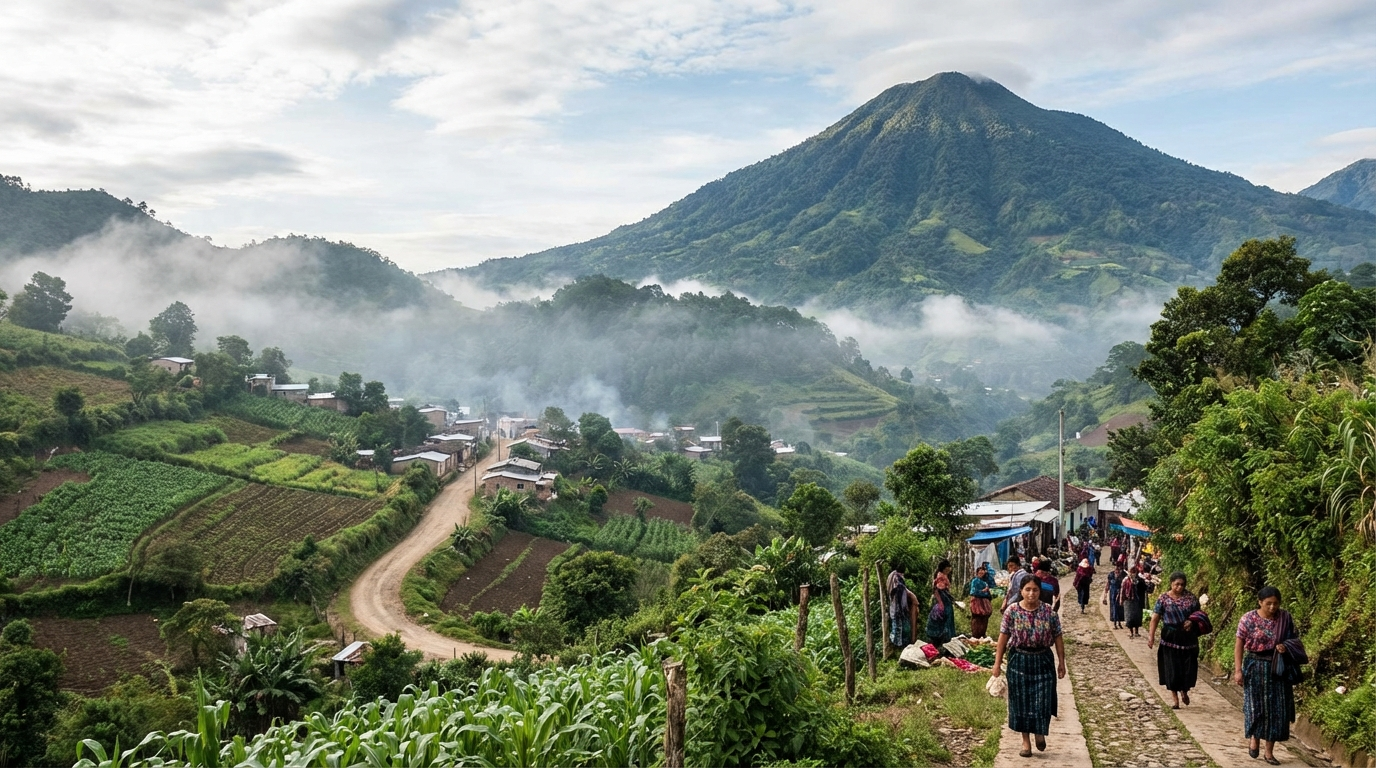
Guatemala's volcanoes are part of the Central American Volcanic Arc, formed by the subduction of the Cocos tectonic plate beneath the Caribbean plate. This geological process has created a string of stratovolcanoes that define the country's topography and have profoundly shaped its history, culture, and agriculture. The volcanic soil is incredibly fertile, supporting the coffee plantations, vegetable farms, and forests that clothe the slopes.
Three volcanoes are classified as currently active: Fuego, which erupts frequently and sometimes violently; Santiaguito, a dome complex that produces regular ash emissions; and Pacaya, which maintains low-level activity with periodic lava flows. These active volcanoes add an element of genuine excitement—and respect—to any hiking experience.
The Best Volcanoes to Hike
Volcán de Acatenango (3,976m / 13,045ft)
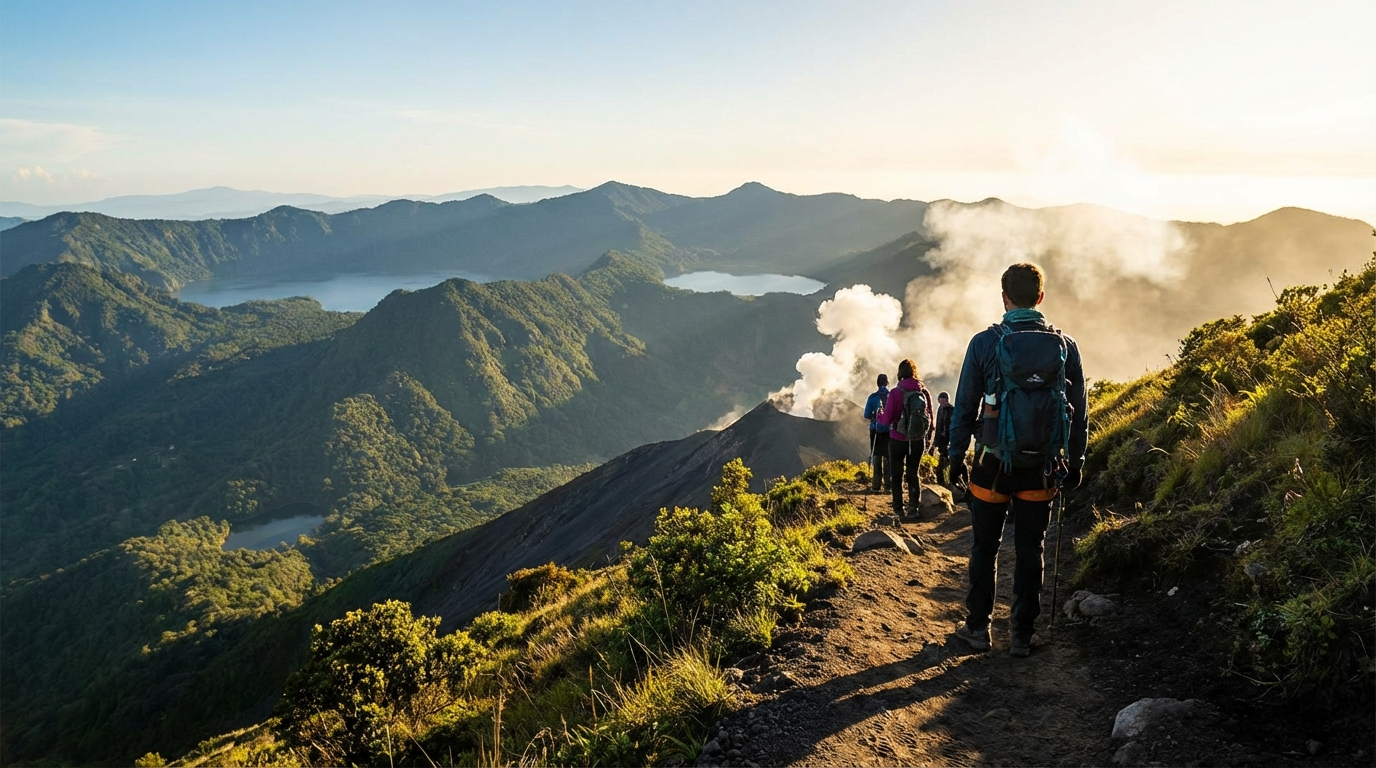
Acatenango is Guatemala's most popular volcano hike, and it thoroughly deserves its reputation. The primary draw is the summit's front-row view of neighboring Fuego, one of the most active volcanoes in the Americas. From Acatenango's slopes, you can watch Fuego erupt every 15-20 minutes—sending plumes of ash and sometimes glowing lava bombs into the sky—from a safe distance. At night, the eruptions are spectacular, with orange lava illuminating the smoke column against a star-filled sky.
Volcán Pacaya (2,552m / 8,373ft)
If Acatenango is the main course, Pacaya is the appetizer—a shorter, more accessible hike that still delivers an authentic volcanic experience. Located about 25 kilometers south of Guatemala City, Pacaya is the most frequently visited volcano in Guatemala and offers the unique thrill of walking on recent lava flows and feeling the earth's heat beneath your feet.
Volcán Tajumulco (4,220m / 13,845ft)
The highest point in Central America, Tajumulco is a bucket-list summit for serious hikers. Located in the western highlands near the Mexican border, this dormant stratovolcano offers a challenging high-altitude trek rewarded with views that, on a clear day, extend across Guatemala, into Mexico, and to both the Pacific and Atlantic watersheds.
Volcán Santa María and Santiaguito (3,772m / 12,375ft)
Santa María offers arguably the most dramatic volcano-watching experience in Guatemala. From its summit, you look directly down into the crater of Santiaguito—an active volcanic dome that formed inside Santa María's caldera after a catastrophic eruption in 1902. Santiaguito produces regular explosions and ash columns that you can observe from above, an extraordinary and humbling sight.
Volcán de Agua (3,760m / 12,336ft)
The iconic cone that dominates Antigua's southern skyline, Agua is a dormant volcano that offers a straightforward but demanding hike to a summit with cell towers (slightly diminishing the wilderness feel) but spectacular panoramic views. The hike is less popular with tourists than Acatenango, giving it a quieter, more local atmosphere.
Safety and Preparation
Physical Preparation
Guatemala's volcano hikes are genuine mountain experiences that demand respect. Even the "easy" option (Pacaya) involves steep terrain at altitude. For Acatenango, Tajumulco, or Santa María, arrive in good cardiovascular shape and ideally spend a few days acclimatizing at altitude before your attempt. Walking hills, stair climbing, and hiking with a loaded pack are the best preparation activities.
Altitude Considerations
Acute mountain sickness (AMS) is a real risk on the higher volcanoes, particularly Tajumulco and Acatenango. Symptoms include headache, nausea, fatigue, and dizziness. The best prevention is gradual acclimatization—spend at least 2-3 days at 1,500+ meters before attempting summits above 3,500 meters. Stay hydrated, avoid alcohol the night before, and descend immediately if symptoms worsen.
What to Bring
Guides and Safety
Always hike with a licensed guide. Beyond the navigation benefits, guides provide critical safety knowledge about volcanic activity, weather patterns, and trail conditions. Solo hiking on Guatemala's volcanoes carries additional risks from occasional robbery on less-traveled routes—a problem that has diminished significantly in recent years thanks to tourism police patrols but hasn't been entirely eliminated.
Reputable tour operators carry first aid equipment, maintain radio communication, and have emergency protocols in place. Ask about safety procedures when booking, and don't choose a tour based solely on the lowest price.
When to Hike
The dry season (November-April) offers the most reliable summit views and comfortable hiking conditions. December through February tends to be the clearest, though nighttime temperatures are at their coldest. March and April bring warmer temperatures but occasionally hazy conditions from agricultural burning.
The rainy season (May-October) makes volcano hiking significantly more challenging—trails become muddy and slippery, summit views are frequently obscured by clouds, and afternoon thunderstorms create genuine lightning risk at exposed elevations. That said, some experienced hikers prefer rainy season for the dramatic cloud formations and the green, lush landscape at lower elevations.
Beyond the Summit: The Volcanic Ecosystem
Guatemala's volcanoes support remarkably diverse ecosystems that change dramatically with altitude. Lower slopes host coffee plantations and tropical agriculture, giving way to cloud forests rich with orchids, bromeliads, and quetzals (Guatemala's national bird). Above the treeline, alpine meadows and volcanic scrub harbor species adapted to extreme conditions—frost, intense UV radiation, and nutrient-poor volcanic soil.
The ecological diversity means that a single volcano hike can take you through multiple climate zones, each with its own flora and fauna. Birdwatchers, in particular, find Guatemala's volcanic slopes incredibly rewarding, with the chance to spot highland specialties like the resplendent quetzal, horned guan, and pink-headed warbler.
Planning Your Volcano Adventure
For most travelers, Antigua is the ideal base for volcano hiking. The colonial city offers easy access to Acatenango, Pacaya, and Agua, along with excellent accommodation, restaurants, and tour operators. For the western volcanoes (Tajumulco, Santa María), Quetzaltenango (Xela) serves as the gateway city.
A recommended progression for first-time volcano hikers: start with Pacaya to get a feel for volcanic terrain, then attempt Acatenango for the full overnight experience. If those leave you hungry for more, Tajumulco or Santa María will satisfy your ambition.
Guatemala's volcanoes are among the country's greatest natural treasures—challenging, beautiful, and profoundly humbling. Standing on a summit at dawn, watching Fuego send fire into the sky while the sun rises over the highlands, is one of those travel moments that stays with you forever. Lace up your boots, respect the mountain, and enjoy the climb.
Artículos relacionados
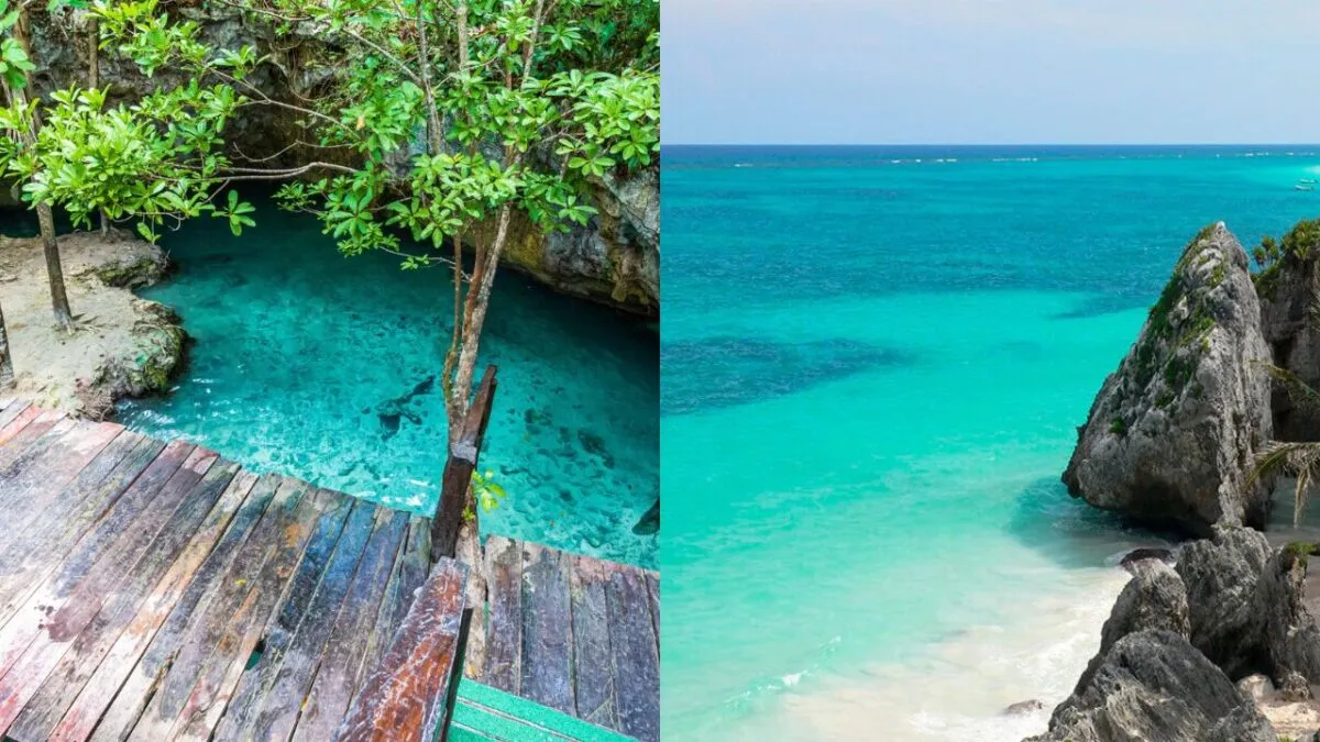
10 Hidden Gems in Guatemala Most Tourists Miss
Beyond Antigua and Tikal — discover 10 incredible places in Guatemala that most tourists never visit. Off-the-beaten-path destinations worth the detour.
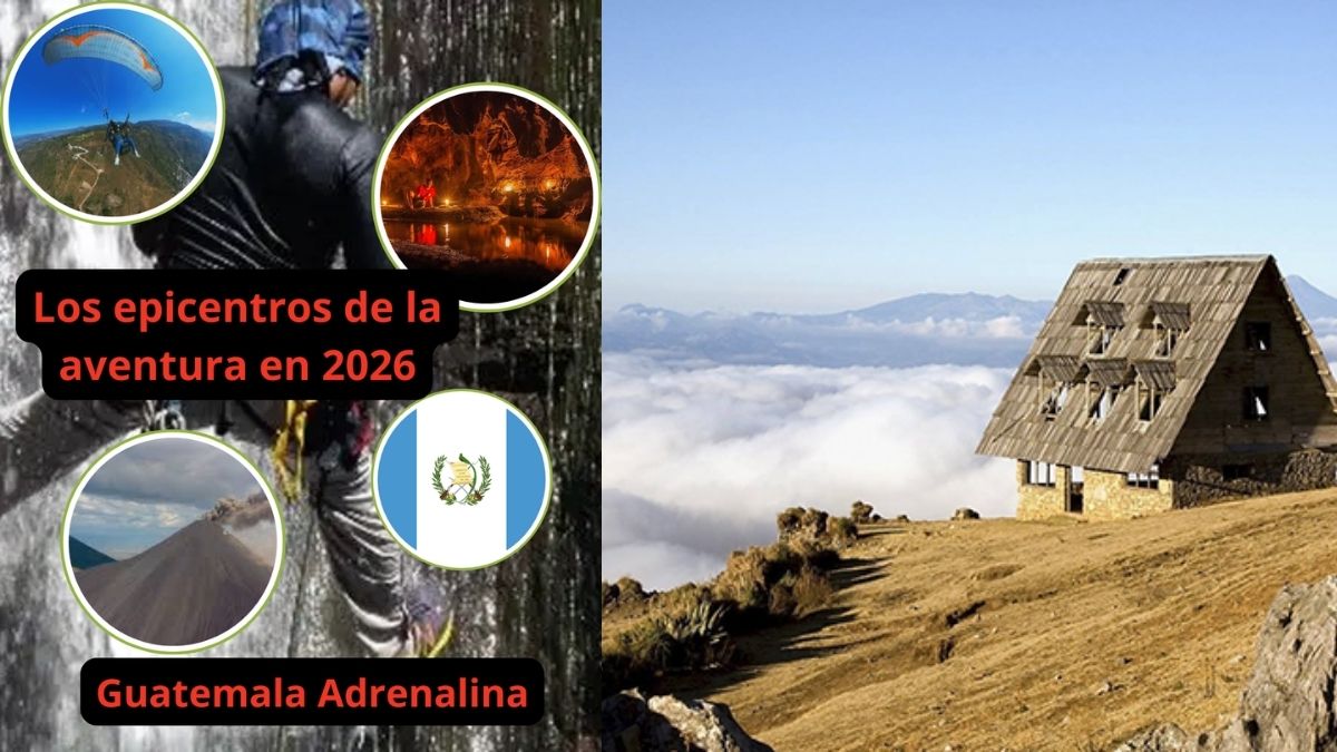
Guatemala Adrenalina: Los epicentros de la aventura en 2026
Balneario Finca Agua Tibia: pozas naturales de agua tibia cerca de la Ciudad de Guatemala
Descubre el Balneario Finca Agua Tibia en Villa Canales, un destino natural con pozas de agua tibia cerca de la Ciudad de Guatemala. Ideal para familias.