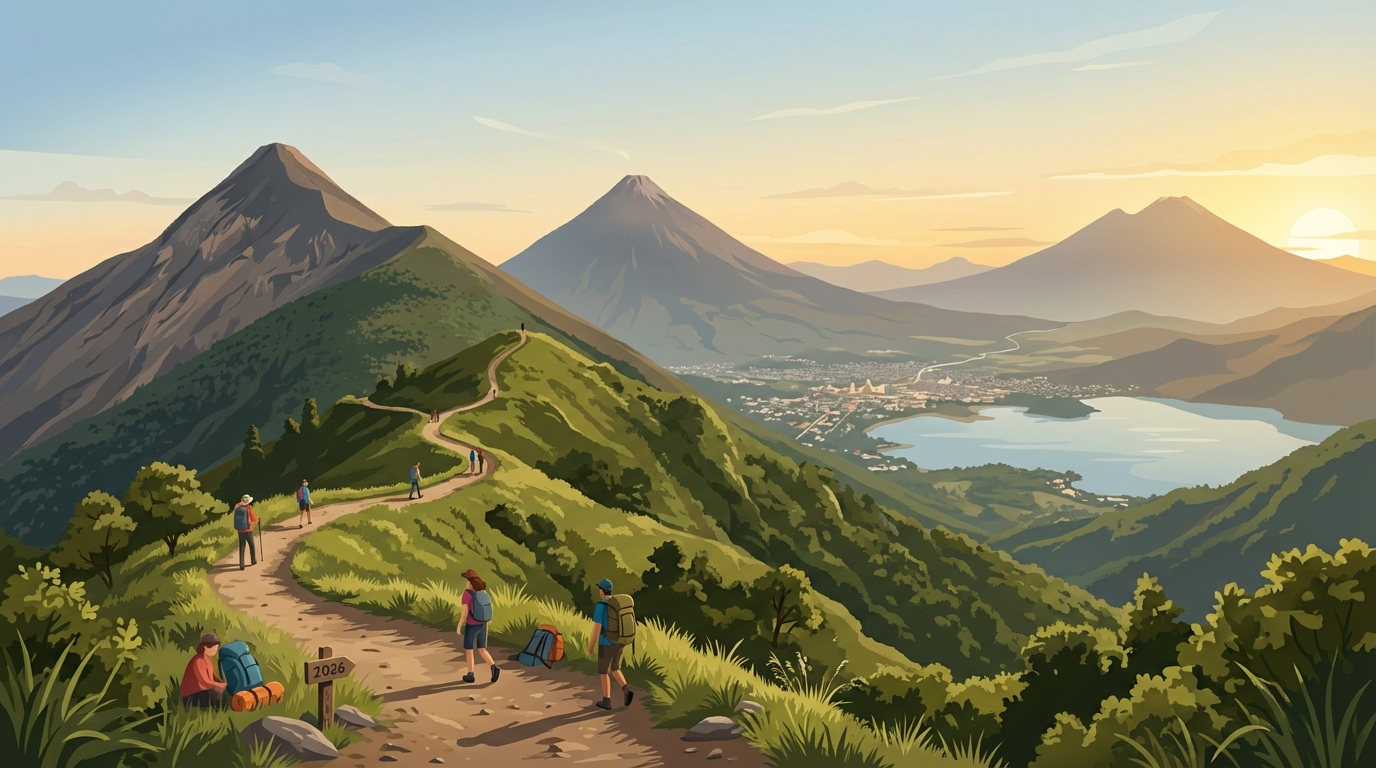
Guatemala's Best Volcanoes to Hike in 2026: Difficulty Ratings, Routes, and Tips
Why Guatemala Is the Ultimate Volcano Hiking Destination
Guatemala sits on the Pacific Ring of Fire, and the result is one of the most dramatic volcanic landscapes on Earth. With 37 volcanoes — three of them actively erupting — the country offers volcano experiences ranging from gentle afternoon walks to grueling multi-day expeditions above 4,000 meters.
What makes Guatemala special for volcano hikers isn't just the volcanoes themselves, but the combination of accessibility, affordability, and sheer drama. Where else can you camp at 3,900 meters watching another volcano erupt every 15 minutes, all for under $50 including guide and gear?
The Top 8 Volcano Hikes
1. Volcán Acatenango (3,976m) — The King of Guatemala Hikes
Acatenango is Guatemala's most iconic hike, and for good reason. The overnight camp at ~3,800 meters provides front-row seats to Volcán de Fuego's eruptions — explosions of lava, ash, and thunder that occur every 10-20 minutes. Watching this from your campsite as the sun sets over the Pacific is a once-in-a-lifetime experience.
What to Expect
- Day 1: 5-7 hours ascending through farmland, cloud forest, and finally above the treeline. The last hour is the hardest — loose volcanic scree at altitude.
- Night: Camp at basecamp. Temperatures drop to -5°C to 5°C. Most tour operators provide sleeping bags and tents, but bring warm layers.
- Day 2: Optional summit push (4:30 AM, 45 minutes) for sunrise, then 3-4 hours descending.
Tips
- Acclimatize in Antigua (1,500m) for at least 2 days before attempting
- Bring more warm clothing than you think you need — it's brutally cold at night
- The trail is well-established but steep. Trekking poles strongly recommended
- Book with reputable operators — OX Expeditions, Tropicana, or Wicho & Charlie's are consistently good
2. Volcán Pacaya (2,552m) — The Beginner's Volcano
Pacaya is Guatemala's most accessible active volcano and the perfect introduction to volcano hiking. The trail is well-maintained, the altitude is manageable, and on a good day you can get close to recent lava flows and steam vents.
Highlights
- Roasting marshmallows over volcanic vents (yes, really — guides bring them)
- Walking on hardened lava flows from recent eruptions
- Views across to Agua, Fuego, and Acatenango on clear days
- Horse rental available for the first section (Q100) if the hike is too strenuous
3. Volcán de Fuego (3,763m) — The Active Giant
Most hikers experience Fuego from the safety of Acatenango's slopes, which is both safer and arguably more visually impressive than being on Fuego itself.
4. Volcán Tajumulco (4,220m) — The Highest Point in Central America
Tajumulco is the highest peak in all of Central America, and summiting it is a badge of honor for hikers in the region. Despite the impressive altitude, the hike itself is technically straightforward — it's the altitude and cold that make it challenging.
Route Details
- Trailhead: From the village of Tuichán, accessed by bus from San Marcos
- Day 1: 4-5 hours to camp at ~3,800m. Trail passes through highland meadows and stunted forest.
- Day 2: 1-2 hour summit push, then descend. Summit views span from Mexico to El Salvador on clear days.
5. Volcán Santa María and Santiaguito (3,772m)
Santa María offers a unique double feature: you hike the dormant main cone for views down into Santiaguito, one of the world's most active volcanic domes. Santiaguito erupts multiple times daily, and watching explosions from directly above is both terrifying and mesmerizing.
6. Volcán de Agua (3,760m) — The Iconic Backdrop
Agua is the picture-perfect cone that dominates Antigua's skyline. The hike is a straightforward slog up a well-worn trail through pine forest and farmland. The summit has a radio antenna compound and, on clear mornings, spectacular views of the entire central highlands.
7. Volcán San Pedro (3,020m) — The Lake Atitlán Classic
San Pedro is the most popular volcano hike at Lake Atitlán. The trail starts right from the town of San Pedro and climbs steeply through milpa (corn) fields and cloud forest to a summit with stunning lake views.
8. Volcán Ipala (1,650m) — The Crater Lake Gem
Ipala is unique among Guatemalan volcanoes for its beautiful crater lake. The short, easy hike makes it perfect for families or those wanting a volcanic experience without the physical demands of the bigger peaks. You can swim in the crater lake — a surreal experience.
Essential Gear for Volcano Hiking in Guatemala
- Footwear: Sturdy hiking boots with ankle support (trails are rocky and sometimes muddy)
- Layers: Temperature can swing 30°C between base and summit. Pack for both tropical heat and near-freezing cold
- Rain gear: Afternoon showers are common, even in dry season
- Headlamp: Essential for summit pushes and overnight camps
- Water: Carry 2-3 liters minimum. No water sources on most volcanoes above the treeline
- Sun protection: UV is intense at altitude — sunscreen, hat, and sunglasses are non-negotiable
- Trekking poles: Not essential but they save your knees significantly on descent
Safety Considerations
Altitude
Several Guatemalan volcanoes exceed 3,500m. If you're coming from sea level, spend at least 2-3 days acclimatizing at 1,500m (Antigua) or 2,300m (Xela) before attempting high-altitude hikes. Symptoms of altitude sickness include headache, nausea, and dizziness. Descend immediately if symptoms worsen.
Guides
While some volcanoes can be hiked independently, we strongly recommend using guides for all volcano hikes. Guides provide:
- Safety in numbers (robberies have occurred on remote trails, though this is increasingly rare)
- Route knowledge (trails can be confusing in cloud forest)
- Emergency response capability
- Economic support for local communities
Volcanic Activity
Check INSIVUMEH (Guatemala's volcanology institute) alerts before any hike on active volcanoes. Fuego, Pacaya, and Santiaguito are monitored 24/7. Never approach active vents or lava flows without expert guidance.
Best Time to Hike
- November to April (dry season): Clearest skies and driest trails. December-February can be very cold at altitude.
- May to October (rainy season): Afternoon clouds and rain, but mornings can be clear. Trails are muddier but landscapes are lush. Fewer hikers.
- Sweet spot: Late November or March-April for a balance of clear skies, moderate temperatures, and moderate crowds.
Budget Breakdown
Volcano hiking in Guatemala is extraordinarily affordable compared to similar experiences worldwide:
- Pacaya day trip from Antigua: Q100-200 ($13-26 USD)
- Acatenango overnight with gear: Q250-500 ($32-65 USD)
- Tajumulco 2-day expedition from Xela: Q300-600 ($39-78 USD)
These prices typically include guide, park entrance, and often transport. Compare this to Kilimanjaro ($2,000+) or Everest Base Camp ($1,500+) and Guatemala's value proposition is unbeatable.
Conclusion: Start with Pacaya, Dream of Acatenango
If you're new to volcano hiking, start with Pacaya to build confidence and experience. Then graduate to the overnight Acatenango expedition — it's the highlight of most travelers' time in Guatemala and one of the best hiking experiences in the Americas at any price.
Guatemala's volcanoes are calling. The question isn't whether to hike them — it's which one first.
Artículos relacionados
Trámites del IGSS Guatemala 2026: Guía Completa de Pensiones, Prestaciones y Afiliación
Guía actualizada 2026 de trámites IGSS Guatemala: pensión por vejez, subsidios por maternidad e incapacidad, afiliación. Requisitos y pasos.

IGSS vs Seguro Médico Privado Guatemala 2026: ¿Cuál Conviene Más?
Comparativa completa IGSS vs seguro médico privado en Guatemala 2026. Costos, coberturas, ventajas y desventajas. ¿Cuál es mejor para tu familia?
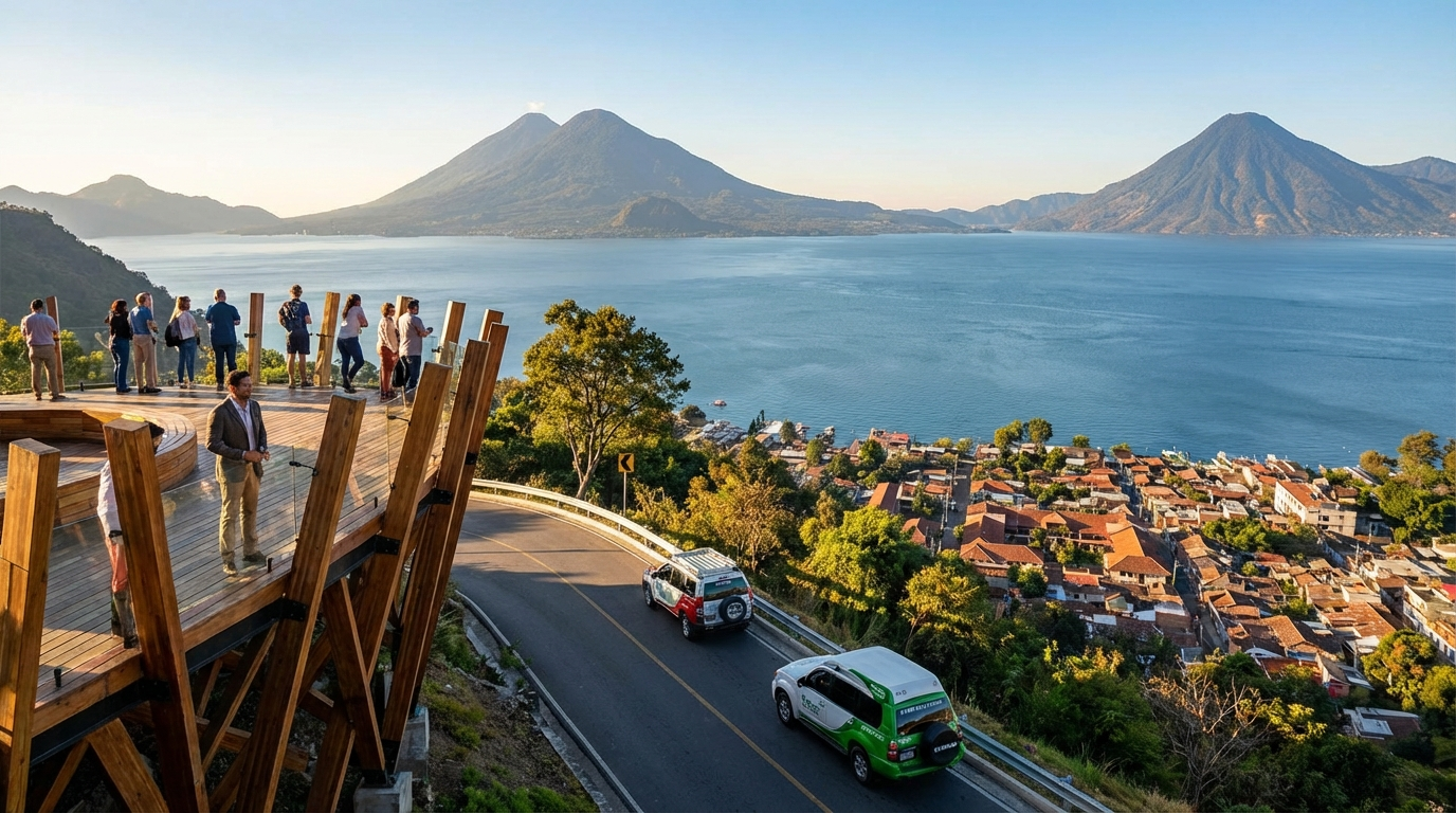
Turismo Guatemala Novedades: Lo Más Reciente para Tu Próxima Aventura
Guatemala, el Corazón del Mundo Maya, se reinventa constantemente para ofrecer a sus visitantes experiencias únicas. Exploramos las últimas novedades en turismo que transformarán tu próxima aventura.
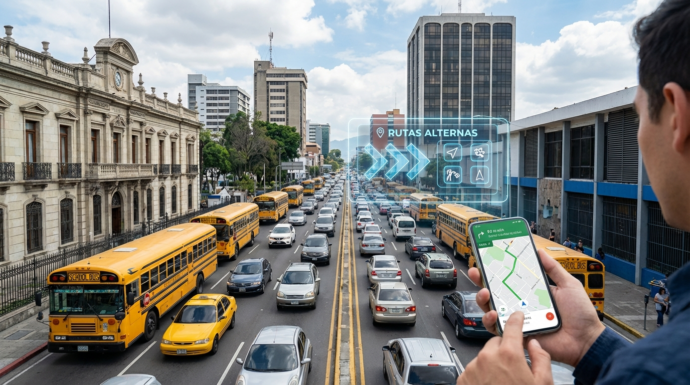
Tráfico Guatemala Hoy: Rutas Alternas y Guía para Navegar la Ciudad
Navegar el tráfico en Guatemala puede ser un desafío diario. Esta guía te ofrece las mejores rutas alternas, herramientas y consejos para optimizar tu tiempo y evitar la congestión.